
Atiu topographic map
Interactive map
Click on the map to display elevation.
About this map
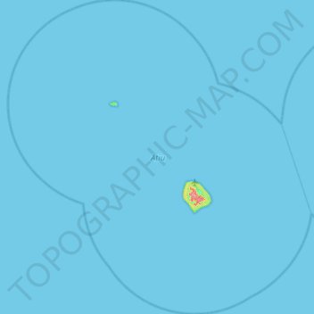
Name: Atiu topographic map, elevation, terrain.
Location: Atiu, Cook Islands (-20.22979 -158.51334 -19.60521 -157.87136)
Average elevation: 0 m
Minimum elevation: 0 m
Maximum elevation: 77 m
Other topographic maps
Click on a map to view its topography, its elevation and its terrain.
Manihiki
Cook Islands > Manihiki > Tukao
Manihiki, Tukao, Manihiki, Cook Islands
Average elevation: 1 m
Palmerston Island
Palmerston Island, Palmerston, Cook Islands
Average elevation: 0 m