
Mugobwa A topographic map
Interactive map
Click on the map to display elevation.
About this map
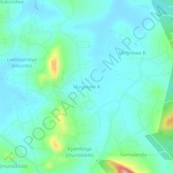
Name: Mugobwa A topographic map, elevation, terrain.
Location: Mugobwa A, Kassanda, Central Region, Uganda (0.73695 31.71777 0.77695 31.75777)
Average elevation: 1,170 m
Minimum elevation: 1,130 m
Maximum elevation: 1,353 m
Other topographic maps
Click on a map to view its topography, its elevation and its terrain.