
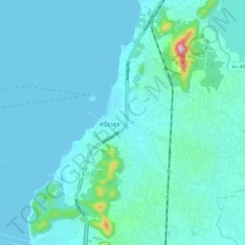
スリラチャ topographic map
Interactive map
Click on the map to display elevation.
About this map
Name: スリラチャ topographic map, elevation, terrain.
Location: スリラチャ, シラチャ スラサック, チョンブリー県, 20110, タイ王国 (13.12550 100.88567 13.20550 100.96567)
Average elevation: 27 m
Minimum elevation: 0 m
Maximum elevation: 300 m
Other topographic maps
Click on a map to view its topography, its elevation and its terrain.