
Greenwald topographic map
Interactive map
Click on the map to display elevation.
About this map
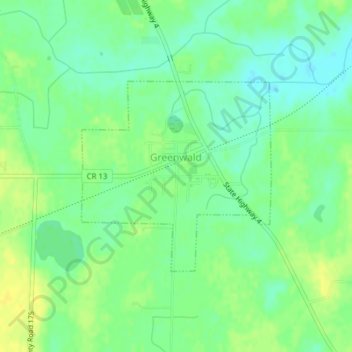
Name: Greenwald topographic map, elevation, terrain.
Location: Greenwald, Stearns County, Minnesota, 56335, United States (45.59285 -94.87040 45.60745 -94.84954)
Average elevation: 386 m
Minimum elevation: 376 m
Maximum elevation: 396 m
Other topographic maps
Click on a map to view its topography, its elevation and its terrain.
St. Joseph
United States > Minnesota > Stearns County
St. Joseph, Stearns County, Minnesota, United States
Average elevation: 336 m
Eden Valley
United States > Minnesota > Stearns County
Eden Valley, Stearns County, Minnesota, United States
Average elevation: 346 m
St. Cloud
United States > Minnesota > Stearns County > St. Cloud
St. Cloud, Stearns County, Minnesota, United States
Average elevation: 319 m
Paynesville
United States > Minnesota > Stearns County
Paynesville, Stearns County, Minnesota, United States
Average elevation: 361 m