
Khan uul topographic map
Interactive map
Click on the map to display elevation.
About this map
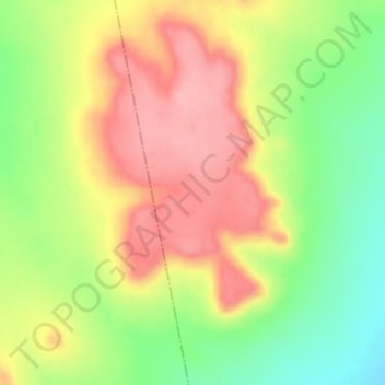
Name: Khan uul topographic map, elevation, terrain.
Location: Khan uul, Gurvansaikhan, Dund-Gobi, Mongolei (45.51985 106.55146 45.51995 106.55156)
Average elevation: 1,449 m
Minimum elevation: 1,384 m
Maximum elevation: 1,508 m
Other topographic maps
Click on a map to view its topography, its elevation and its terrain.