
Öndörshil topographic map
Interactive map
Click on the map to display elevation.
About this map
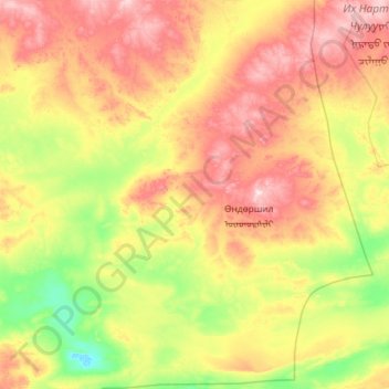
Name: Öndörshil topographic map, elevation, terrain.
Location: Öndörshil, Dund-Gobi, Mongolei (44.86693 107.59685 45.68507 108.65300)
Average elevation: 1,117 m
Minimum elevation: 1,001 m
Maximum elevation: 1,308 m
Other topographic maps
Click on a map to view its topography, its elevation and its terrain.