
Starks topographic map
Interactive map
Click on the map to display elevation.
About this map
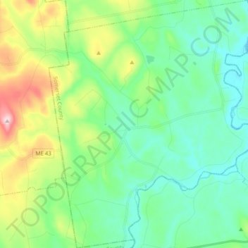
Name: Starks topographic map, elevation, terrain.
Location: Starks, Somerset County, Maine, United States (44.67742 -70.01350 44.78783 -69.88410)
Average elevation: 129 m
Minimum elevation: 43 m
Maximum elevation: 367 m
Other topographic maps
Click on a map to view its topography, its elevation and its terrain.
Ripley
United States > Maine > Somerset County
Ripley, Somerset County, Maine, United States
Average elevation: 147 m
Fairfield
United States > Maine > Somerset County
Fairfield, Somerset County, Maine, United States
Average elevation: 64 m