
Općina Starigrad topographic map
Interactive map
Click on the map to display elevation.
About this map
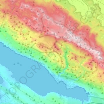
Name: Općina Starigrad topographic map, elevation, terrain.
Location: Općina Starigrad, Zadar County, 23244, Croatia (44.25936 15.28938 44.42012 15.57067)
Average elevation: 608 m
Minimum elevation: -3 m
Maximum elevation: 1,748 m
Other topographic maps
Click on a map to view its topography, its elevation and its terrain.