Geolocate

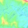
Rosman topographic map

Click on the map to display elevation.

About this map
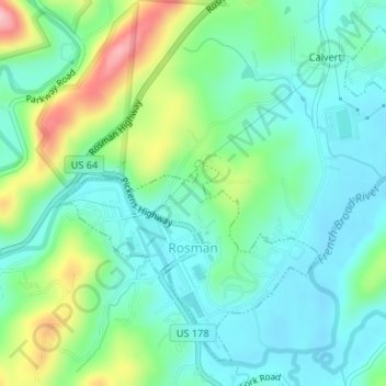
Name: Rosman topographic map, elevation, terrain.

Location: Rosman, Transylvania County, North Carolina, United States (35.13575 -82.83366 35.15925 -82.80299)

Average elevation: 703 m

Minimum elevation: 657 m

Maximum elevation: 821 m

Other topographic maps

Click on a map to view its topography, its elevation and its terrain.
Gear up for your next adventure:

📟Satellite Messengers - Two-way satellite communication to stay in touch beyond the cellular grid
🕶️Polarized Outdoor Sunglasses - Reduce glare from rocks and water for better visual navigation
🔋Rechargeable Batteries - Eco-friendly power for high-drain GPS units and flashlights
📣High-Decibel Survival Whistles - Signaling tool for rescue that carries much further than a human voice
🧦Hiking Socks - Comfortable socks for long hikes

As an Amazon Associate, this site earns from qualifying purchases at no extra cost to you.