
Ulf topographic map
Interactive map
Click on the map to display elevation.
About this map
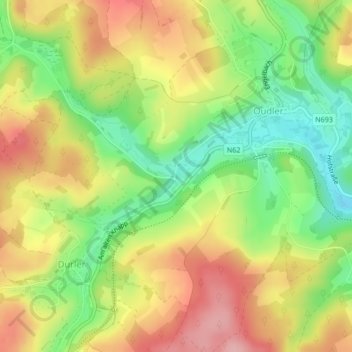
Name: Ulf topographic map, elevation, terrain.
Location: Ulf, Burg-Reuland, Verviers, Liège, Wallonie, 4790, Belgique (50.19729 6.08199 50.19729 6.08231)
Average elevation: 449 m
Minimum elevation: 377 m
Maximum elevation: 520 m
Other topographic maps
Click on a map to view its topography, its elevation and its terrain.
Burg-Reuland
Belgique > Wallonie > Burg-Reuland
Oudler, Burg-Reuland, Liège, Wallonie, 4790, Belgique
Average elevation: 456 m