
中部地方 topographic map
Interactive map
Click on the map to display elevation.
About this map
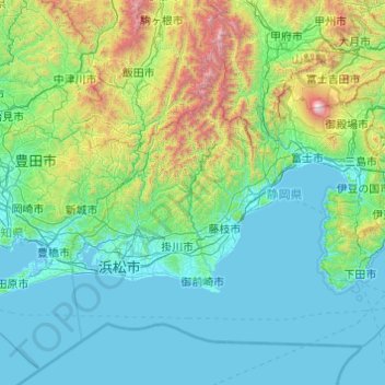
Name: 中部地方 topographic map, elevation, terrain.
Location: Prefectura de Shizuoka, 中部地方, Japón (34.37245 137.47411 35.64596 139.42076)
Average elevation: 448 m
Minimum elevation: -3 m
Maximum elevation: 3,700 m
Other topographic maps
Click on a map to view its topography, its elevation and its terrain.