
Yatomi topographic map
Click on the map to display elevation.
About this map
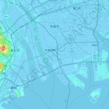
Name: Yatomi topographic map, elevation, terrain.
Location: Yatomi, Aichi Prefecture, Japan (34.98946 136.70186 35.13235 136.80673)
Average elevation: 0 m
Minimum elevation: -12 m
Maximum elevation: 90 m
Other topographic maps
Click on a map to view its topography, its elevation and its terrain.