
Mangerton topographic map
Click on the map to display elevation.
Mangerton
Mangerton Mountain's height and topographic prominence, qualifies it to meet the British Isles Marilyn classification, as well as the Arderin, Simm and Hewitt classifications. Mangerton Mountain ranks as the 10th-highest mountain in Ireland on the MountainViews Online Database, 100 Highest Irish Mountains, where the prominence threshold is over 100 metres (e.g. higher mountains with sub-100-metre prominences are excluded).
About this map
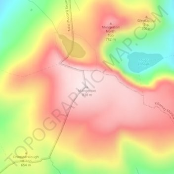
Name: Mangerton topographic map, elevation, terrain.
Average elevation: 657 m
Minimum elevation: 397 m
Maximum elevation: 837 m
Other topographic maps
Click on a map to view its topography, its elevation and its terrain.