
Pleasure Point topographic map
Click on the map to display elevation.
About this map
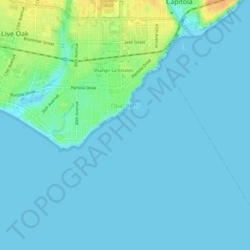
Name: Pleasure Point topographic map, elevation, terrain.
Average elevation: 6 m
Minimum elevation: 0 m
Maximum elevation: 32 m
Other topographic maps
Click on a map to view its topography, its elevation and its terrain.
Mount Hermon
United States > California > Santa Cruz County > Felton > Mount Hermon
Average elevation: 154 m