
Cerdedelo topographic map
Interactive map
Click on the map to display elevation.
About this map
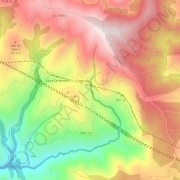
Name: Cerdedelo topographic map, elevation, terrain.
Location: Cerdedelo, Laza, Verín, Orense, Galicia, España (42.06751 -7.41947 42.10268 -7.36949)
Average elevation: 933 m
Minimum elevation: 554 m
Maximum elevation: 1,230 m
Other topographic maps
Click on a map to view its topography, its elevation and its terrain.