
Kırıklı topographic map
Interactive map
Click on the map to display elevation.
About this map
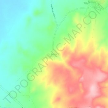
Name: Kırıklı topographic map, elevation, terrain.
Location: Kırıklı, Gölbaşı, Ankara, Central Anatolia Region, Turkey (39.51174 32.78289 39.55174 32.82289)
Average elevation: 1,110 m
Minimum elevation: 1,022 m
Maximum elevation: 1,235 m
Other topographic maps
Click on a map to view its topography, its elevation and its terrain.