
Kırıklı topographic map
Interactive map
Click on the map to display elevation.
About this map
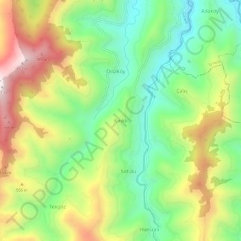
Name: Kırıklı topographic map, elevation, terrain.
Location: Kırıklı, Görele, Giresun, Black Sea Region, Turkey (40.95754 39.05728 40.99754 39.09728)
Average elevation: 430 m
Minimum elevation: 113 m
Maximum elevation: 876 m
Other topographic maps
Click on a map to view its topography, its elevation and its terrain.