
Сарыбулак topographic map
Interactive map
Click on the map to display elevation.
About this map
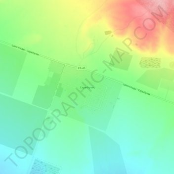
Name: Сарыбулак topographic map, elevation, terrain.
Location: Сарыбулак, Конаев, Алматинская область, Казахстан (43.88610 77.65549 43.92610 77.69549)
Average elevation: 560 m
Minimum elevation: 510 m
Maximum elevation: 651 m
Other topographic maps
Click on a map to view its topography, its elevation and its terrain.
Кербулак
Казахстан > Алматинская область > Конаев
Кербулак, Конаев, Алматинская область, Казахстан
Average elevation: 543 m