
Ravenswoud topographic map
Interactive map
Click on the map to display elevation.
About this map
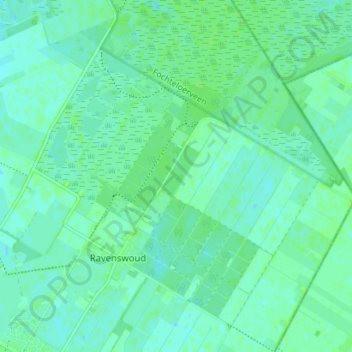
Name: Ravenswoud topographic map, elevation, terrain.
Location: Ravenswoud, Ooststellingwerf, Friesland, Niederlande (52.95326 6.35642 52.99565 6.42262)
Average elevation: 11 m
Minimum elevation: 7 m
Maximum elevation: 14 m
Other topographic maps
Click on a map to view its topography, its elevation and its terrain.
Appelscha
Niederlande > Friesland > Ooststellingwerf
Appelscha, Ooststellingwerf, Friesland, Niederlande
Average elevation: 11 m
Donkerbroek
Niederlande > Friesland > Ooststellingwerf
Donkerbroek, Ooststellingwerf, Friesland, Niederlande
Average elevation: 5 m
Langedijke
Niederlande > Friesland > Ooststellingwerf
Langedijke, Ooststellingwerf, Friesland, Niederlande
Average elevation: 8 m
Nijeberkoop
Niederlande > Friesland > Ooststellingwerf
Nijeberkoop, Ooststellingwerf, Friesland, Niederlande
Average elevation: 4 m