
송전천 topographic map
Interactive map
Click on the map to display elevation.
About this map
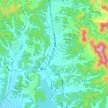
Name: 송전천 topographic map, elevation, terrain.
Location: 송전천, Yongin-si, Gyeonggi-do, 17136, South Korea (37.11342 127.19640 37.18924 127.25690)
Average elevation: 124 m
Minimum elevation: 27 m
Maximum elevation: 485 m
Other topographic maps
Click on a map to view its topography, its elevation and its terrain.