
Beecher topographic map
Interactive map
Click on the map to display elevation.
About this map
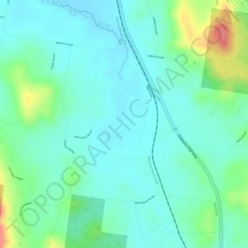
Name: Beecher topographic map, elevation, terrain.
Location: Beecher, Gladstone, Queensland, Australia (-23.92111 151.19471 -23.90111 151.21471)
Average elevation: 26 m
Minimum elevation: 3 m
Maximum elevation: 87 m
Queensland trails, hiking, mountain biking, running and outdoor activities
Other topographic maps
Click on a map to view its topography, its elevation and its terrain.