
Crèvecœur topographic map
Interactive map
Click on the map to display elevation.
About this map
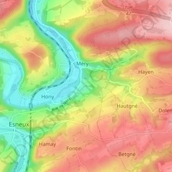
Name: Crèvecœur topographic map, elevation, terrain.
Location: Crèvecœur, Esneux, Luik, Wallonië, 4130, België (50.52250 5.57313 50.56250 5.61313)
Average elevation: 176 m
Minimum elevation: 70 m
Maximum elevation: 272 m
Other topographic maps
Click on a map to view its topography, its elevation and its terrain.