
Хорго topographic map
Interactive map
Click on the map to display elevation.
About this map
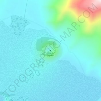
Name: Хорго topographic map, elevation, terrain.
Location: Хорго, Tariat, Archangai, Mongolei (48.18667 99.85683 48.18677 99.85693)
Average elevation: 2,140 m
Minimum elevation: 2,067 m
Maximum elevation: 2,600 m
Other topographic maps
Click on a map to view its topography, its elevation and its terrain.