
Make a donation
Gear up for your next adventure:
As an Amazon Associate, this site earns from qualifying purchases at no extra cost to you.
San Felipe topographic map
Click on the map to display elevation.
Make a donation
Gear up for your next adventure:
As an Amazon Associate, this site earns from qualifying purchases at no extra cost to you.
About this map
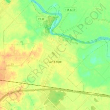
Name: San Felipe topographic map, elevation, terrain.
Location: San Felipe, Austin County, Texas, 77473, United States (29.76394 -96.13659 29.83003 -96.06227)
Average elevation: 45 m
Minimum elevation: 26 m
Maximum elevation: 60 m
Make a donation
Gear up for your next adventure:
As an Amazon Associate, this site earns from qualifying purchases at no extra cost to you.
Other topographic maps
Click on a map to view its topography, its elevation and its terrain.
Stephen F. Austin State Park
United States > Texas > Austin County > San Felipe
Average elevation: 41 m
Make a donation
Gear up for your next adventure:
As an Amazon Associate, this site earns from qualifying purchases at no extra cost to you.