
Beaconsfield topographic map
Interactive map
Click on the map to display elevation.
About this map
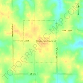
Name: Beaconsfield topographic map, elevation, terrain.
Location: Beaconsfield, Ringgold County, Iowa, United States (40.80056 -94.05799 40.81428 -94.04351)
Average elevation: 364 m
Minimum elevation: 347 m
Maximum elevation: 376 m
The elevation of Beaconsfield is 1210 feet above sea level.
Other topographic maps
Click on a map to view its topography, its elevation and its terrain.
Beaconsfield
United States > Iowa > Ringgold County > Beaconsfield > Beaconsfield
Beaconsfield, Ringgold County, Iowa, 50084, United States
Average elevation: 361 m