
Sandy Level topographic map
Click on the map to display elevation.
About this map
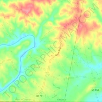
Name: Sandy Level topographic map, elevation, terrain.
Location: Sandy Level, Henry County, Virginia, United States (36.54196 -79.77151 36.59932 -79.70400)
Average elevation: 210 m
Minimum elevation: 169 m
Maximum elevation: 265 m