
Mount Sheridan topographic map
Interactive map
Click on the map to display elevation.
About this map
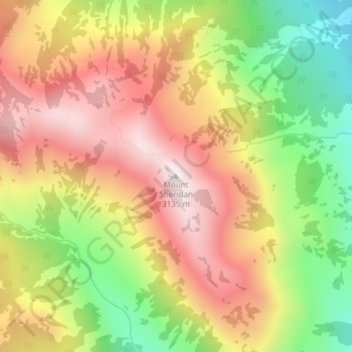
Name: Mount Sheridan topographic map, elevation, terrain.
Location: Mount Sheridan, Teton County, Wyoming, United States (44.26600 -110.52942 44.26610 -110.52932)
Average elevation: 2,760 m
Minimum elevation: 2,340 m
Maximum elevation: 3,125 m
Other topographic maps
Click on a map to view its topography, its elevation and its terrain.
Mount Saint John
United States > Wyoming > Teton County
Mount Saint John, Teton County, Wyoming, United States
Average elevation: 2,961 m