
Rodds Bay topographic map
Interactive map
Click on the map to display elevation.
About this map
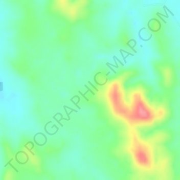
Name: Rodds Bay topographic map, elevation, terrain.
Location: Rodds Bay, Gladstone, Queensland, Australia (-24.10167 151.59001 -24.08167 151.61001)
Average elevation: 36 m
Minimum elevation: 3 m
Maximum elevation: 96 m
Queensland trails, hiking, mountain biking, running and outdoor activities
Other topographic maps
Click on a map to view its topography, its elevation and its terrain.