
Kasteel Keukenhof topographic map
Interactive map
Click on the map to display elevation.
About this map
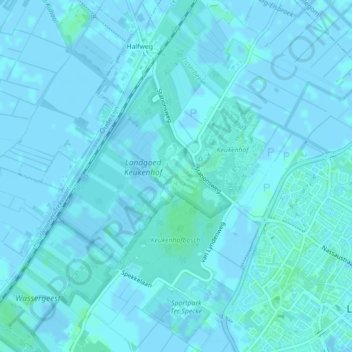
Name: Kasteel Keukenhof topographic map, elevation, terrain.
Average elevation: 1 m
Minimum elevation: -3 m
Maximum elevation: 4 m
Other topographic maps
Click on a map to view its topography, its elevation and its terrain.
Leidse Trekvaart
Nederland > Zuid-Holland > Lisse
Leidse Trekvaart, Lisse, Zuid-Holland, Nederland, 2211VL, Nederland
Average elevation: 0 m