
Château de Mirwart topographic map
Interactive map
Click on the map to display elevation.
About this map
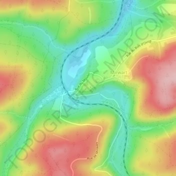
Name: Château de Mirwart topographic map, elevation, terrain.
Average elevation: 325 m
Minimum elevation: 242 m
Maximum elevation: 425 m
Other topographic maps
Click on a map to view its topography, its elevation and its terrain.
Hurtebise
Belgique > Wallonie > Saint-Hubert > Hurtebise
Hurtebise, Saint-Hubert, Luxembourg, Wallonie, 6870, Belgique
Average elevation: 521 m