Geolocate

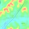
Prospect topographic map

Click on the map to display elevation.

About this map
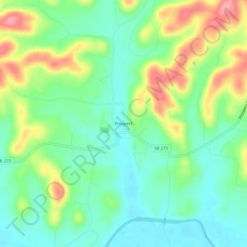
Name: Prospect topographic map, elevation, terrain.

Location: Prospect, Giles County, Middle Tennessee, Tennessee, 38477, United States (35.00981 -87.02306 35.04981 -86.98306)

Average elevation: 212 m

Minimum elevation: 173 m

Maximum elevation: 282 m

Other topographic maps

Click on a map to view its topography, its elevation and its terrain.
Ardmore

United States > Tennessee > Giles County

Average elevation: 253 m

Lynnville

United States > Tennessee > Giles County

Average elevation: 246 m

Pulaski

United States > Tennessee > Giles County

Average elevation: 233 m

Minor Hill

United States > Tennessee > Giles County

Average elevation: 243 m

Elkton

United States > Tennessee > Giles County

Average elevation: 209 m

Gear up for your next adventure:

🧴Sunscreen SPF - Sun protection for outdoor activities
🚁Camera Drones with GPS - Capture aerial views of the landscape to compare with topo maps
🎒Ultralight Backpacks - Lightweight packs for long hikes
🛠️Outdoor Repair Kits - Gear repair kits
🧺Fast-Dry Microfiber Towels - Large towels that pack down to the size of an orange

As an Amazon Associate, this site earns from qualifying purchases at no extra cost to you.