Geolocate

Worlds topographic map

Click on the map to display elevation.

About this map

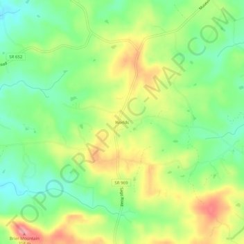
Name: Worlds topographic map, elevation, terrain.

Location: Worlds, Pittsylvania County, Virginia, United States (36.83236 -79.61086 36.87236 -79.57086)

Average elevation: 289 m

Minimum elevation: 239 m

Maximum elevation: 357 m

Other topographic maps

Click on a map to view its topography, its elevation and its terrain.

Chatham

United States > Virginia > Pittsylvania County

Average elevation: 209 m

Gear up for your next adventure:

🔦LED Torches - LED torches for outdoor use
📡Satellite Messengers - Emergency communication devices
📖Australian Bush Survival Books - Local knowledge on finding water and surviving the outback
👄SPF Lip Balm - Prevent sun and wind-burnt lips on mountain ridges
🐍Australian Snake Bite Kits - Specific pressure immobilization bandages for Australian venomous snakes

As an Amazon Associate, this site earns from qualifying purchases at no extra cost to you.