
Beresford topographic map
Interactive map
Click on the map to display elevation.
About this map
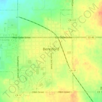
Name: Beresford topographic map, elevation, terrain.
Location: Beresford, Union County, South Dakota, United States (43.06917 -96.79595 43.09100 -96.76417)
Average elevation: 456 m
Minimum elevation: 432 m
Maximum elevation: 472 m
Other topographic maps
Click on a map to view its topography, its elevation and its terrain.
Dakota Dunes
United States > South Dakota > Union County
Dakota Dunes, Big Sioux Township, Union County, South Dakota, 57049, United States
Average elevation: 341 m