
Carlton in Cleveland topographic map
Interactive map
Click on the map to display elevation.
About this map
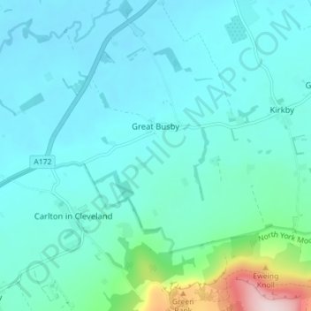
Name: Carlton in Cleveland topographic map, elevation, terrain.
Average elevation: 112 m
Minimum elevation: 60 m
Maximum elevation: 428 m
Other topographic maps
Click on a map to view its topography, its elevation and its terrain.
Dalby
United Kingdom > England > North Yorkshire > Hambleton
Dalby, Dalby-cum-Skewsby, Hambleton, North Yorkshire, England, YO60 6PF, United Kingdom
Average elevation: 80 m
East Rounton
United Kingdom > England > North Yorkshire > Hambleton
East Rounton, Hambleton, North Yorkshire, England, United Kingdom
Average elevation: 65 m