
Norman Creek topographic map
Interactive map
Click on the map to display elevation.
About this map
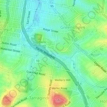
Name: Norman Creek topographic map, elevation, terrain.
Location: Norman Creek, Brisbane, Queensland, 4121, Australia (-27.51730 153.04264 -27.51367 153.05299)
Average elevation: 35 m
Minimum elevation: 5 m
Maximum elevation: 94 m
Queensland trails, hiking, mountain biking, running and outdoor activities
Other topographic maps
Click on a map to view its topography, its elevation and its terrain.