
Llanguat topographic map
Interactive map
Click on the map to display elevation.
About this map
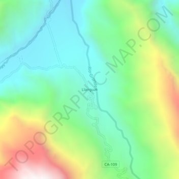
Name: Llanguat topographic map, elevation, terrain.
Location: Llanguat, Celendín, Cajamarca, Perú (-6.79872 -78.19897 -6.75872 -78.15897)
Average elevation: 1,859 m
Minimum elevation: 1,377 m
Maximum elevation: 2,872 m
Other topographic maps
Click on a map to view its topography, its elevation and its terrain.