
Río Branco topographic map
Interactive map
Click on the map to display elevation.
About this map
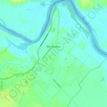
Name: Río Branco topographic map, elevation, terrain.
Location: Río Branco, Cerro Largo, 37100, Uruguay (-32.61195 -53.41484 -32.57109 -53.36302)
Average elevation: 7 m
Minimum elevation: -3 m
Maximum elevation: 25 m
Other topographic maps
Click on a map to view its topography, its elevation and its terrain.
Hipódromo
Uruguay > Cerro Largo > Hipódromo
Hipódromo, Cerro Largo, 37000, Uruguay
Average elevation: 113 m
Fraile Muerto
Uruguay > Cerro Largo > Fraile Muerto
Fraile Muerto, Cerro Largo, 37005, Uruguay
Average elevation: 136 m
Quebracho
Uruguay > Cerro Largo > Quebracho
Quebracho, Cerro Largo, 37004, Uruguay
Average elevation: 148 m