
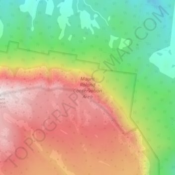
Mount Roland Conservation Area topographic map
Interactive map
Click on the map to display elevation.
About this map
Name: Mount Roland Conservation Area topographic map, elevation, terrain.
Average elevation: 731 m
Minimum elevation: 258 m
Maximum elevation: 1,222 m
Other topographic maps
Click on a map to view its topography, its elevation and its terrain.
Claude Road
Australia > Tasmania > Claude Road
Claude Road, Tasmania, Australia
Average elevation: 312 m