
Ghat topographic map
Interactive map
Click on the map to display elevation.
About this map
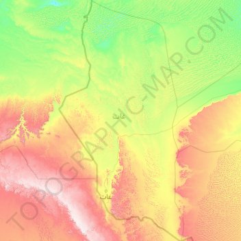
Name: Ghat topographic map, elevation, terrain.
Location: Ghat, Libye (24.20050 9.39898 27.81212 11.48099)
Average elevation: 751 m
Minimum elevation: 423 m
Maximum elevation: 1,833 m
Other topographic maps
Click on a map to view its topography, its elevation and its terrain.
Marsa Al Burayqah
Libye > Al Wahat > مدينه البريقه وضواحيها
Marsa Al Burayqah, مدينه البريقه وضواحيها, Al Wahat, Libye
Average elevation: 12 m