
Fort Myers Beach topographic map
Interactive map
Click on the map to display elevation.
About this map
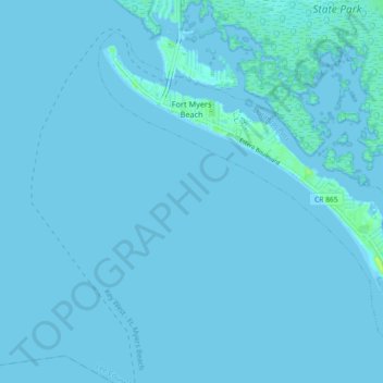
Name: Fort Myers Beach topographic map, elevation, terrain.
Average elevation: 1 m
Minimum elevation: -1 m
Maximum elevation: 13 m
Other topographic maps
Click on a map to view its topography, its elevation and its terrain.
Koreshan Preserve
États-Unis d'Amérique > Floride > Lee County > Estero
Koreshan Preserve, Estero, Lee County, Floride, États-Unis d'Amérique
Average elevation: 6 m
Bonita Springs
États-Unis d'Amérique > Floride > Lee County > Pelican Landing
Bonita Springs, Pelican Landing, Lee County, Floride, 34136, États-Unis d'Amérique
Average elevation: 5 m
Cape Coral
États-Unis d'Amérique > Floride > Lee County
Cape Coral, Lee County, Floride, États-Unis d'Amérique
Average elevation: 4 m