
Rapid Creek topographic map
Interactive map
Click on the map to display elevation.
About this map
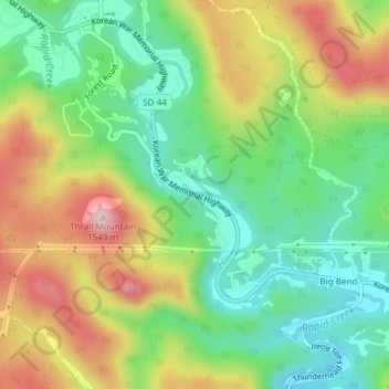
Name: Rapid Creek topographic map, elevation, terrain.
Average elevation: 1,372 m
Minimum elevation: 1,261 m
Maximum elevation: 1,533 m
Other topographic maps
Click on a map to view its topography, its elevation and its terrain.
Rapid City
United States > South Dakota > Pennington County
Rapid City, Pennington County, South Dakota, United States
Average elevation: 1,068 m