
Tarrascón topographic map
Interactive map
Click on the map to display elevation.
About this map
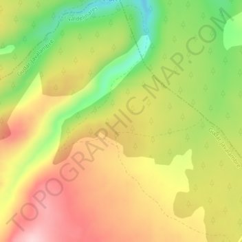
Name: Tarrascón topographic map, elevation, terrain.
Average elevation: 1,785 m
Minimum elevation: 1,663 m
Maximum elevation: 1,890 m
Other topographic maps
Click on a map to view its topography, its elevation and its terrain.
Valdelinares
Espagne > Aragon > Valdelinares > Valdelinares
Valdelinares, Gúdar-Javalambre, Teruel, Aragon, Espagne
Average elevation: 1,723 m