
Sipán topographic map
Interactive map
Click on the map to display elevation.
About this map
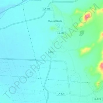
Name: Sipán topographic map, elevation, terrain.
Location: Sipán, Zaña, Chiclayo, Lambayeque, Pérou (-6.83022 -79.62328 -6.79022 -79.58328)
Average elevation: 89 m
Minimum elevation: 71 m
Maximum elevation: 193 m
Other topographic maps
Click on a map to view its topography, its elevation and its terrain.
El Medano
Pérou > Lambayeque > Olmos > El Medano
El Medano, Olmos, Lambayeque, Pérou
Average elevation: 155 m
Chongoyape
Pérou > Lambayeque > Chongoyape
Chongoyape, Chiclayo, Lambayeque, Pérou
Average elevation: 574 m
José Leonardo Ortiz
Pérou > Lambayeque > José Leonardo Ortiz
José Leonardo Ortiz, Chiclayo, Lambayeque, 14013, Pérou
Average elevation: 30 m