Geolocate

Dutton topographic map

Click on the map to display elevation.

About this map

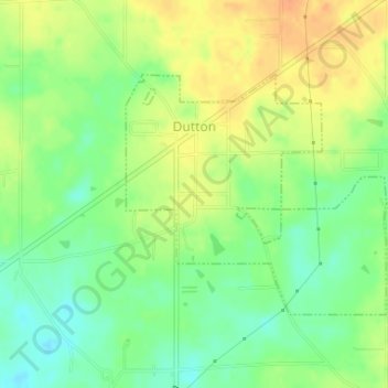
Name: Dutton topographic map, elevation, terrain.

Location: Dutton, Jackson County, Alabama, 35744, United States (34.59783 -85.92270 34.61456 -85.90066)

Average elevation: 410 m

Minimum elevation: 390 m

Maximum elevation: 429 m

Other topographic maps

Click on a map to view its topography, its elevation and its terrain.

Flat Rock

United States > Alabama > Jackson County

Average elevation: 422 m

Woodville

United States > Alabama > Jackson County

Average elevation: 212 m

Section

United States > Alabama > Jackson County

Average elevation: 349 m

Gear up for your next adventure:

🌿Flora and Fauna Field Guides - Identify the plants and animals you encounter on your route
🔪Outdoor Multi-tools - Versatile tools for gear repair and survival tasks in the wilderness
📱Shockproof Phone Cases - Extra protection for your smartphone against drops on rocky terrain
🐍Snake Gaiters - Protection against snake bites
🧺Waterproof Dry Sacks - Organize your pack and keep electronics safe from rain and river crossings

As an Amazon Associate, this site earns from qualifying purchases at no extra cost to you.