
Troll tongue topographic map
Interactive map
Click on the map to display elevation.
About this map
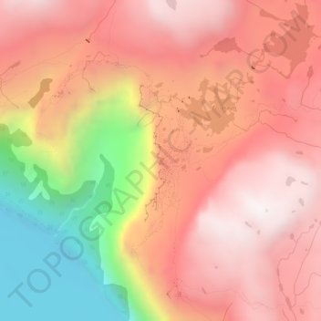
Name: Troll tongue topographic map, elevation, terrain.
Location: Troll tongue, Ullensvang, Vestland, Norway (60.13291 6.75395 60.13301 6.75405)
Average elevation: 1,091 m
Minimum elevation: 446 m
Maximum elevation: 1,469 m
Other topographic maps
Click on a map to view its topography, its elevation and its terrain.