
Penrhyn topographic map
Interactive map
Click on the map to display elevation.
About this map
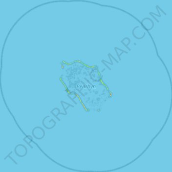
Name: Penrhyn topographic map, elevation, terrain.
Location: Penrhyn, Cook Islands (-9.28797 -158.25967 -8.71501 -157.67683)
Average elevation: 0 m
Minimum elevation: 0 m
Maximum elevation: 26 m
Other topographic maps
Click on a map to view its topography, its elevation and its terrain.
Manihiki
Cook Islands > Manihiki > Tukao
Manihiki, Tukao, Manihiki, Cook Islands
Average elevation: 1 m
Palmerston Island
Palmerston Island, Palmerston, Cook Islands
Average elevation: 0 m