
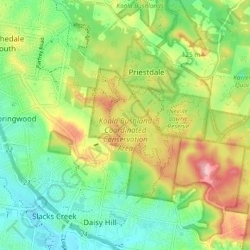
Koala Bushland Coordinated Conservation Area topographic map
Interactive map
Click on the map to display elevation.
About this map
Name: Koala Bushland Coordinated Conservation Area topographic map, elevation, terrain.
Average elevation: 63 m
Minimum elevation: 2 m
Maximum elevation: 160 m
Queensland trails, hiking, mountain biking, running and outdoor activities
Other topographic maps
Click on a map to view its topography, its elevation and its terrain.