
Gaeta topographic map
Interactive map
Click on the map to display elevation.
About this map
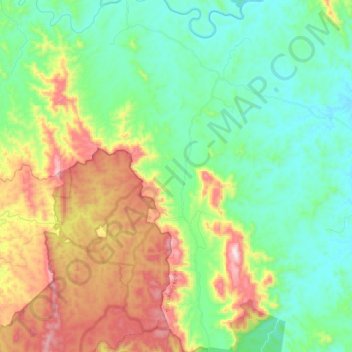
Name: Gaeta topographic map, elevation, terrain.
Location: Gaeta, Bundaberg Region, Queensland, Australia (-24.95188 151.54926 -24.74447 151.63700)
Average elevation: 259 m
Minimum elevation: 88 m
Maximum elevation: 611 m
Bundaberg Region trails, hiking, mountain biking, running and outdoor activities
Other topographic maps
Click on a map to view its topography, its elevation and its terrain.
Isis River
Australia > Queensland > Bundaberg Region > South Isis > Isis River
Average elevation: 43 m