Denmark topographic maps
Click on a map to view its topography, its elevation and its terrain.
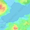
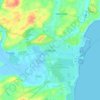
Lammefjorden
Denmark > Region Zealand > Gundestrup
The draining project began in 1873, but it took until 1943 before the lowest elevations were pumped dry. Large parts of the fjord were shallow enough to be dry early on. In 1899 the Odsherred Railway opened across the western end of the fjord. The town of Fårevejle Stationsby grew up where the railway…
Average elevation: 10 m









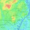




Rønde
Denmark > Central Denmark Region
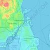
Rønde is a hill town, with a 95-meter difference in elevation between the lowest and highest part. This kind of grade difference is unusual for Denmark, where the overall highest point in the country is 172 meters above sea level.
Average elevation: 31 m