
Tunnel Creek topographic map
Interactive map
Click on the map to display elevation.
About this map
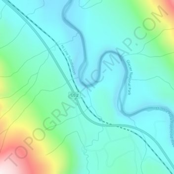
Name: Tunnel Creek topographic map, elevation, terrain.
Location: Tunnel Creek, Flathead County, Montana, United States (48.37388 -113.67936 48.37410 -113.67930)
Average elevation: 1,211 m
Minimum elevation: 1,056 m
Maximum elevation: 1,797 m
Other topographic maps
Click on a map to view its topography, its elevation and its terrain.
Lake McDonald
United States > Montana > Flathead County
Lake McDonald, Flathead County, Montana, United States
Average elevation: 1,209 m
Kalispell
United States > Montana > Flathead County
Kalispell, Flathead County, Montana, United States
Average elevation: 934 m
West Glacier
United States > Montana > Flathead County > West Glacier
West Glacier, Flathead County, Montana, 59936, United States
Average elevation: 1,201 m